Google celebrated Earth Day by releasing Google Earth 7.1 and announcing some great new content! And there are three reasons you will want to make the upgrade:
1. New Hands-Free Navigation Technology
The big news with version 7.1 is Leap Motion support, a touch-free 3d technology that lets you “navigate Google earth with simple hand gestures.” The Leap Motion Controller ($79.99) will start shipping mid-July, so you’ve got some time to get to know Google Earth a little better before you start flying around in it like this:
You KNOW I have to get me some of that!
2. More 3D City Views
There’s also exciting new 3D data in Google Earth, most notably for New York City. But there’s also more imagery for other cities around the world: Innsbruck, Austria; Dijon, France; Cagliari, Italy and the Spanish cities of San Sebastian, Santander, Pamplona, Manresa and Burgos. Other U.S. cities with 3D coverage include Miami, FL; Houston, TX; Orlando, FL; Encinitas, CA and Spokane, WA.
3. The Addition of the 50th Country to Google Maps’ popular Street View Feature
You can now view 50 countries buy lasix medication online with Google Maps’ popular Street View feature. The newest nations to be added are Hungary and Lesotho (a tiny country within South Africa), and there’s new or updated coverage for Poland, Romania, France, Italy, Russia, Singapore, Thailand and other locations worldwide. Google calls this “the largest single update of Street View imagery we’ve ever pushed, including new and updated imagery for nearly 350,000 miles of roads across 14 countries.”
Help for Using Google Earth for Genealogy
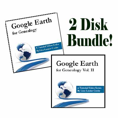
How can you access these fabulous features, both for fun virtual travel and for seriously fun genealogy research? Upload the latest version of Google Earth for free (for PC, Mac or Linux). Then check out my Google Earth for Genealogy 2-CD Bundle. There’s a reason is this one of my best-selling  presentations: Google Earth is one of the best genealogy research tools around! In these CD presentations, I show you how to locate and map ancestral homesteads; use historical map overlays; identify where old photos were taken; create 3D models of ancestral locations; create custom family history tours and much more.


